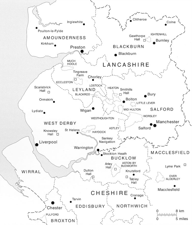
Maps
These maps provide a context for the archives. Maps 5 and 6 are scans of historic maps from Arley Hall, dating from 1744 and 1786 so covering the period from which many of the archived documents originate.
Map 2. South Lancashire and North Cheshire