Maps
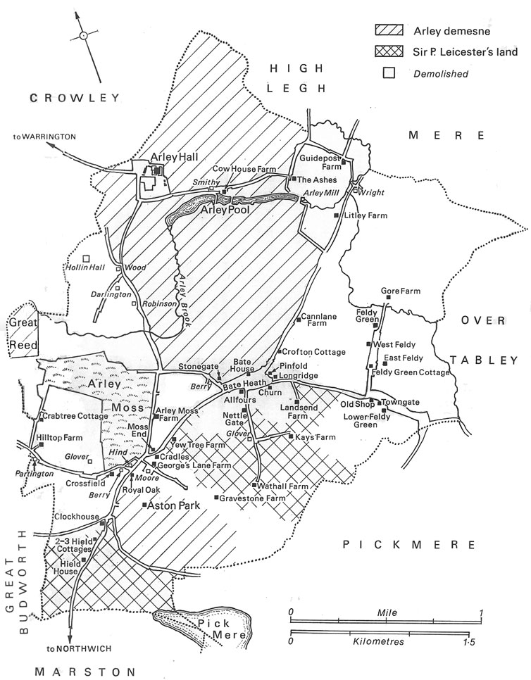
These maps provide a context for the archives. Maps 5 and 6 are scans of historic maps from Arley Hall, dating from 1744 and 1786 so covering the period from which many of the archived documents originate.
Map 4. Aston-by-Budworth in 1744 (mostly modern farm names)